This page could not be found
Try to search our catalog, you may find what you are looking for!
Dive into our selection of aviation charts, essential for pilots in visual and instrumental flight. Find quality charts and manuals, designed to ensure accuracy and safety in your flights, and navigate with confidence in the complex world of aviation.
Subcategories
Try to search our catalog, you may find what you are looking for!
In our selection of aviation charts, you will find a wide range of essential products for visual (VFR) and instrumental (IFR) flight. Our catalog includes high-quality materials that guarantee the accuracy and safety required in aviation.
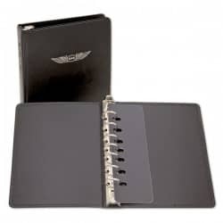
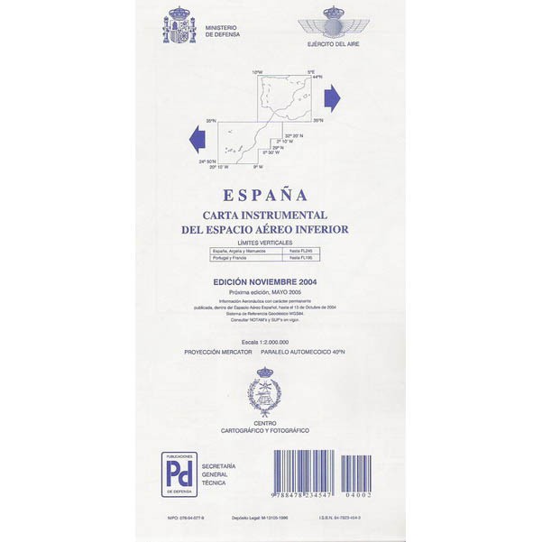
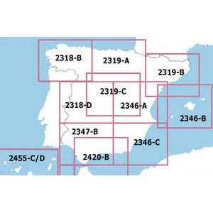
We offer a variety of charts and manuals, such as the Jeppesen EASA General Student Pilot Route Manual, IFR charts for upper and lower airspace in Spain, as well as low-altitude IFR charts for Europe and Africa. We also have specific VFR charts for France, Iberia, and Spain, like the Airmillion and Rogers Data.
Our collection of charts for pilots has been carefully selected to meet the needs of professionals in the sector, providing the necessary tools to plan and carry out flights with complete confidence.
We invite you to explore our products and discover the charts and manuals that best suit your needs as a pilot. We are committed to offering high-quality resources so you can rely on accurate information and tools at every stage of your flight.